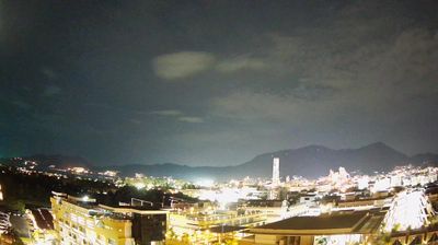
Doi Saket
![]() Doi Saket, Thái Lan
Doi Saket, Thái Lan
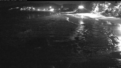
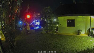
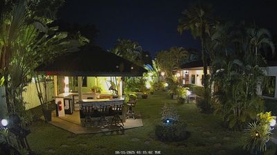
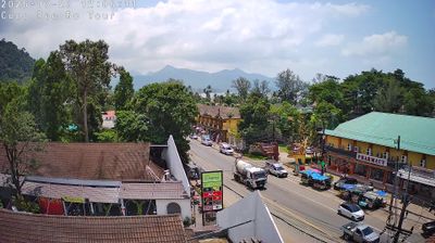
Real-Time Environment
Welcome to the live streaming webcam for Doi Saket, perfectly situated in the vibrant region of Doi Saket, Thái Lan. Watching this live camera allows you to instantly experience the local atmosphere and monitor current climate conditions.

About Doi Saket district
Doi Saket is a district (amphoe) in the eastern part of Chiang Mai province in northern Thailand. The district is predominantly a rural farming area, containing a mixture of rice fields on the valley floor to orchard and other farming on the hillsides. The village is known for its Wat Phra That Doi Saket that has remarkable murals inside.
📖 Read more on Wikipedia📍 Location Facts
-
Country
 Thái Lan
- Region Chiang Mai Province
- City Doi Saket
- Coordinates 18.8529°N, 99.1827°E
Have you been to Doi Saket?
Help the community! Share your experience, tell us about the weather, or upload your own photos from this exact location.